Excerpt from: The Transformation of the Ideal Wilderness
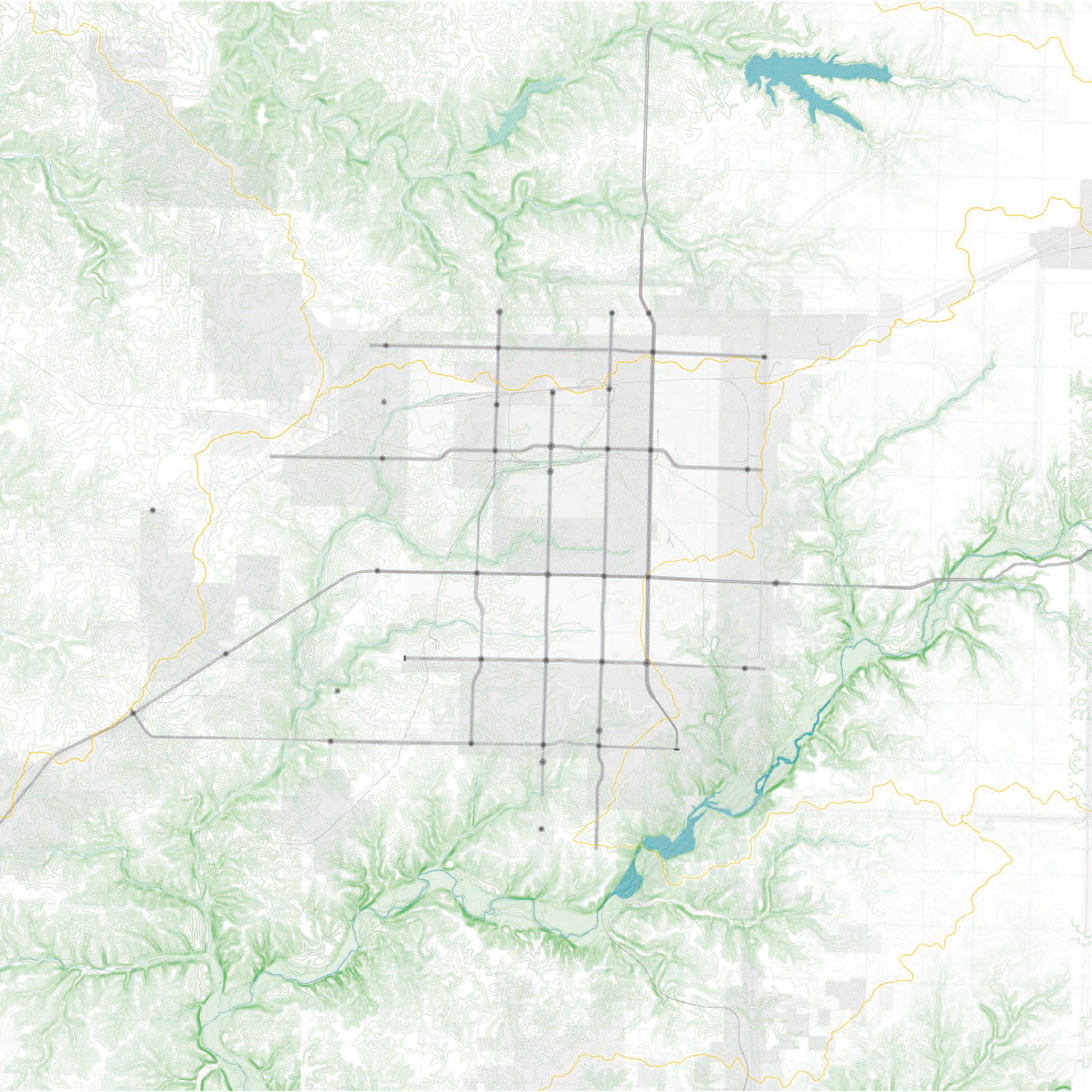
3 Terrain/Infrastructure: Plateau/Strip Grid
The early analogy, plateaus of modernity, hills of resilience, is exhibited most practically and clearly in the Plateau/Strip Grid. The siting of commercial centers has been an exercise of logic between flat high ground, market catchment of 1 to 2 mile modules, and proximity to large connective infrastructure.
The downtown was sited on the hill adjacent to the railway filled Jordan Valley; Glenstone (the original highway 65), National, Campbell, and Kansas Expressway follow the north/south ridge creating spines for orderly commercial development. East west crossings are shorter and fewer contending with the hills more immediately—after I-44, Sunshine is the dominant access bisecting the city. Each Plateau/Strip road marks the boundary of the old city edge, which has expanded from ridge to ridge in both whole and incremental pieces.
The dominant commercial nodes are located at these formerly new intersections occupying large tracts of once cheap and plentiful, waiting for the city to grow up to the new edge and envelop the fields beyond.
Next > Alternating Wilderness/Strip Grid
-
![The Wilderness Grid]()
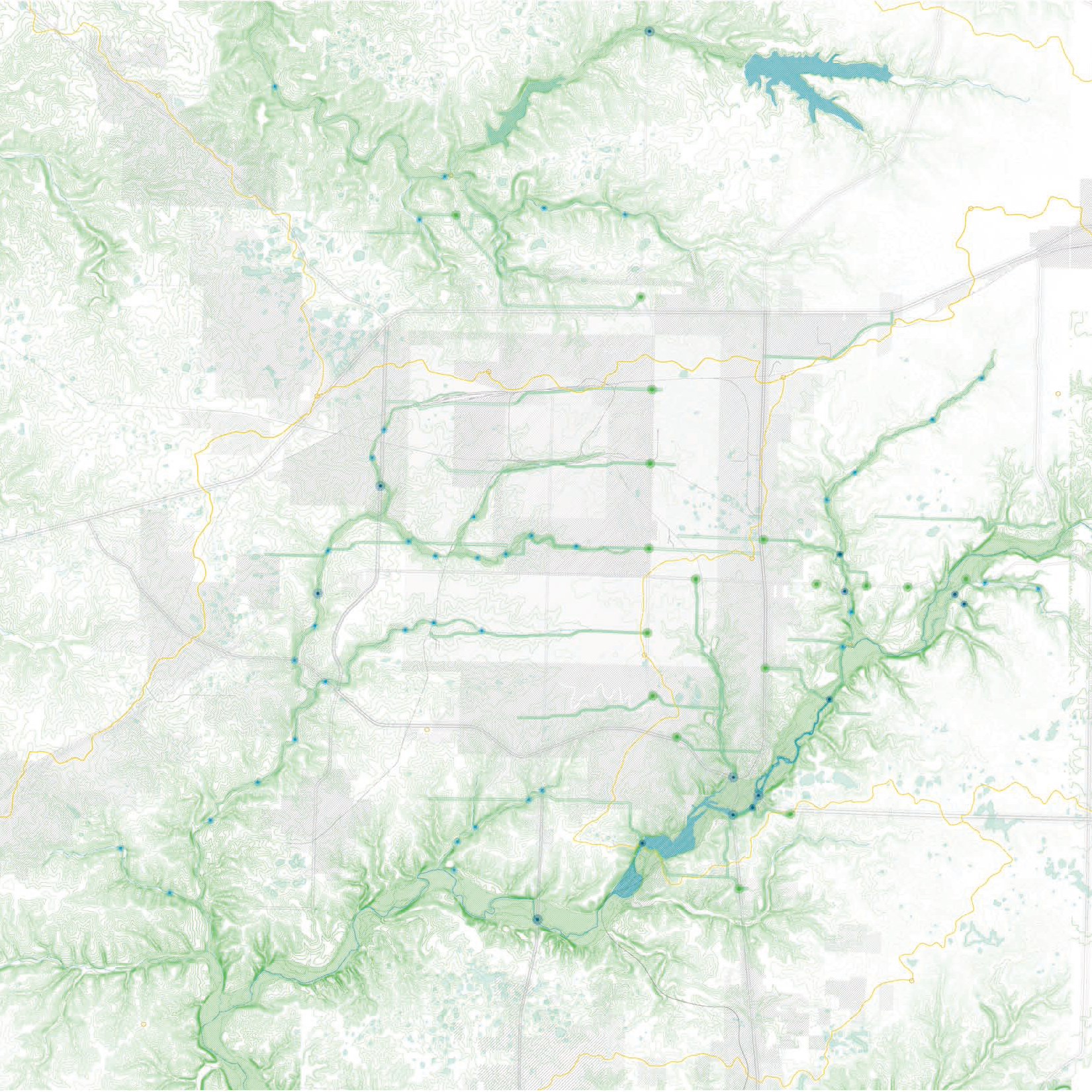
1 Terrain/Infrastructure: The Wilderness Grid
-
![]()
3 Terrain Infrastructure: Plateau/Strip Grid